bernierqc.com
Bernier QC supports developers, municipalities, and organizations in carrying out complex projects thanks to accurate data, rigorous processes, and proven operational capabilities.
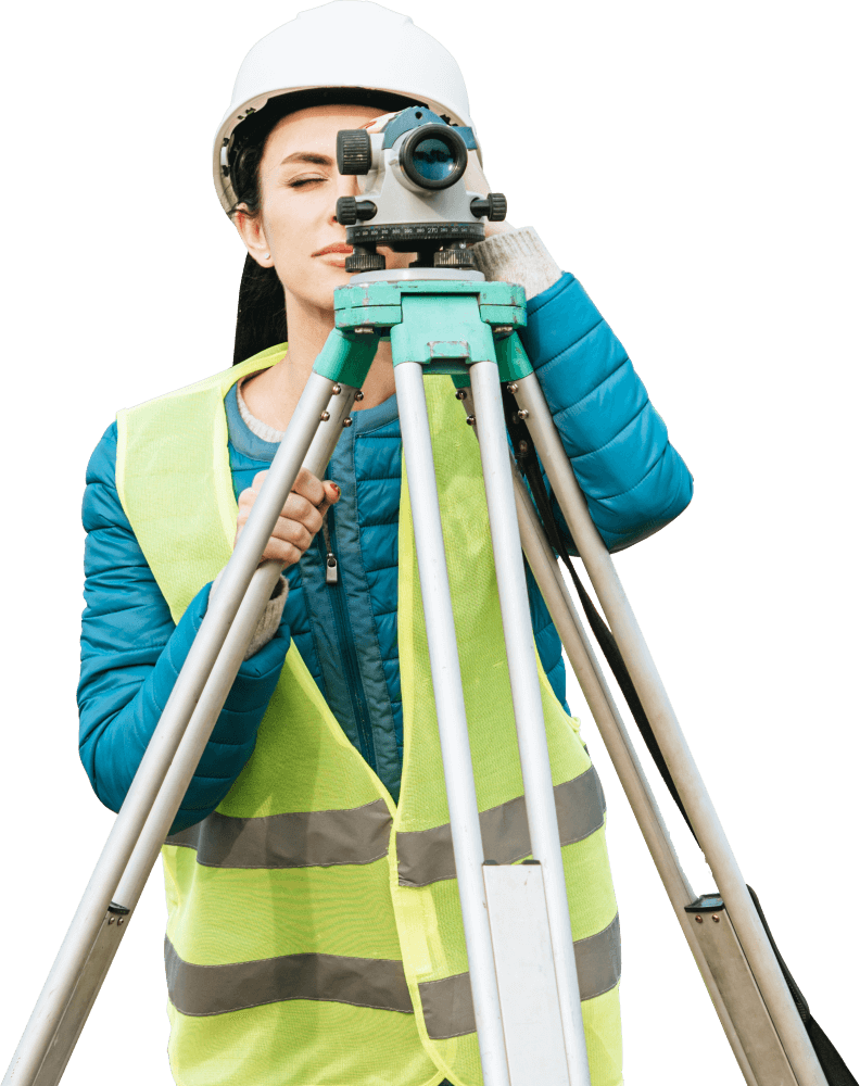
Complete topographic surveys, planimetric and altimetric surveys, building layout, and engineering project support.
Residential and commercial certificates that meet legal requirements, including regulatory updates and analyses.
Building layout, lot staking, and ongoing and post-construction inspections.
Geospatial data processing, 3D modeling, and GIS integration for large-scale projects.
Photogrammetry, orthophotographs, volume calculations, and construction site monitoring, in accordance with Transport Canada standards.
Subdivision plans, cadastre, support for calls for tenders, and regulatory documentation.
Rigorous processes, precise deliverables, and strict compliance with legal and regulatory standards for every assignment.
Teams and resources capable of rapidly deploying complex, multi-site, or high-volume projects.
Solid experience with public, parapublic, and private organizations, including comprehensive management of calls for tenders.
Use of cutting-edge geomatics and surveying tools to maximize accuracy, efficiency, and reliability.
A collaborative approach focused on relationship sustainability, data continuity, and operational trust.
Site selection, location certificates, and technical support for new or existing residential projects.
Surveying and geomatics services for commercial buildings, developments, and real estate transactions.
Accurate surveys and technical solutions tailored to complex industrial sites and operational constraints.
Interventions that comply with the requirements of public, educational, hospital, and semi-public organizations.
Support for cities and municipalities in managing land, networks, and public assets.
Surveying and geometric control for roads, networks, structures, and large-scale projects.
Reliable geospatial data for the design, execution, and monitoring of civil engineering works.
Standardized working methods ensuring consistency, traceability, and control at every stage of the mandate.
Strict compliance with the Order's standards, legal requirements, and industry best practices.
Complete, structured, and archived deliverables enabling clear and transparent data validation.
Strict enforcement of occupational health and safety standards to protect teams and construction sites.
Constant updating of our teams' technical, regulatory, and technological skills.
Field-proven procedures ensuring data reliability and operational safety.
Yes, including requests for proposals.
Yes, without compromising on quality.
Yes, tailored to each mandate.